
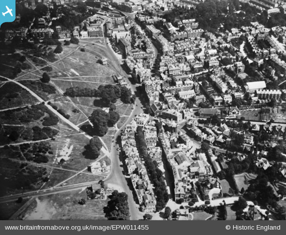
EPW011455 ENGLAND (1924). London Road alongside Tunbridge Wells Common, Royal Tunbridge Wells, 1924. This image has been produced from a copy-negative.
© Copyright OpenStreetMap contributors and licensed by the OpenStreetMap Foundation. 2025. Cartography is licensed as CC BY-SA.
Nearby Images (2)
EPW011455

EPW001435

Details
| Title | [EPW011455] London Road alongside Tunbridge Wells Common, Royal Tunbridge Wells, 1924. This image has been produced from a copy-negative. |
| Reference | EPW011455 |
| Date | July-1924 |
| Link | |
| Place name | ROYAL TUNBRIDGE WELLS |
| Parish | |
| District | |
| Country | ENGLAND |
| Easting / Northing | 558179, 138829 |
| Longitude / Latitude | 0.26072359255449, 51.126344032677 |
| National Grid Reference | TQ582388 |
Pins
Be the first to add a comment to this image!