
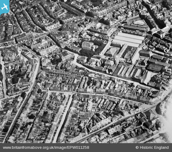
EPW011258 ENGLAND (1924). Mill Street and environs, Plymouth, 1924. This image has been produced from a copy-negative affected by flare.
© Copyright OpenStreetMap contributors and licensed by the OpenStreetMap Foundation. 2026. Cartography is licensed as CC BY-SA.
Nearby Images (5)
EPW011258

EPW011281

EPW054897

EPW011257

EPW011259

Details
| Title | [EPW011258] Mill Street and environs, Plymouth, 1924. This image has been produced from a copy-negative affected by flare. |
| Reference | EPW011258 |
| Date | 19-July-1924 |
| Link | |
| Place name | PLYMOUTH |
| Parish | |
| District | |
| Country | ENGLAND |
| Easting / Northing | 247845, 54772 |
| Longitude / Latitude | -4.1399571637537, 50.372532183467 |
| National Grid Reference | SX478548 |
Pins

flyman |
Saturday 22nd of June 2019 12:06:52 AM |