
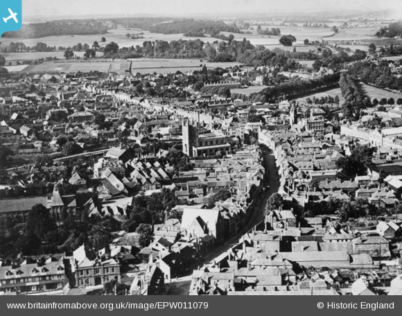
EPW011079 ENGLAND (1924). Bartholomew Street and the town centre, Newbury, from the south-west, 1924. This image has been produced from a copy-negative.
© Copyright OpenStreetMap contributors and licensed by the OpenStreetMap Foundation. 2026. Cartography is licensed as CC BY-SA.
Nearby Images (15)
EPW011079

EPW054556

EPW054553

EPW054557

EPW054558

EPW054554

EPW054552

EPW054555

EAW015079

EAW015080

EPW022627

EPW011076

EPW022630

EPW022632

EPW022626

Details
| Title | [EPW011079] Bartholomew Street and the town centre, Newbury, from the south-west, 1924. This image has been produced from a copy-negative. |
| Reference | EPW011079 |
| Date | July-1924 |
| Link | |
| Place name | NEWBURY |
| Parish | NEWBURY |
| District | |
| Country | ENGLAND |
| Easting / Northing | 446977, 166912 |
| Longitude / Latitude | -1.3246484889663, 51.398798471391 |
| National Grid Reference | SU470669 |
Pins
Be the first to add a comment to this image!