
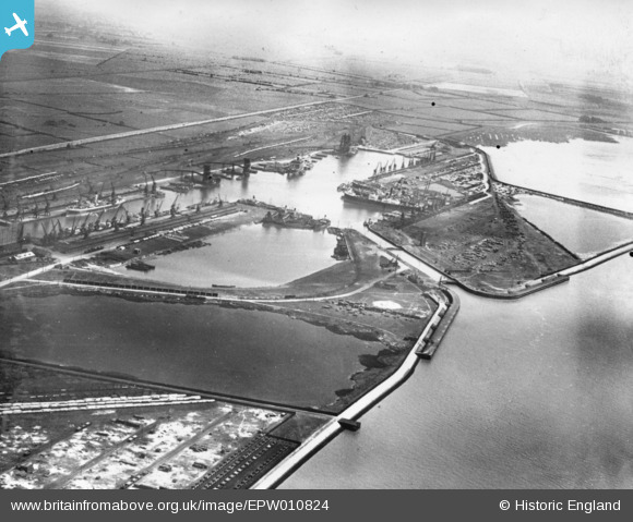
EPW010824 ENGLAND (1924). King George Dock, Kingston upon Hull, 1924. This image has been produced from a print.
© Copyright OpenStreetMap contributors and licensed by the OpenStreetMap Foundation. 2026. Cartography is licensed as CC BY-SA.
Nearby Images (7)
EPW010824

EAW004509

EPW055043

EAW183440

EPW036383

EAW004512

EAW046140

Details
| Title | [EPW010824] King George Dock, Kingston upon Hull, 1924. This image has been produced from a print. |
| Reference | EPW010824 |
| Date | June-1924 |
| Link | |
| Place name | KINGSTON UPON HULL |
| Parish | |
| District | |
| Country | ENGLAND |
| Easting / Northing | 514108, 428713 |
| Longitude / Latitude | -0.26964141461178, 53.742069820427 |
| National Grid Reference | TA141287 |
Pins
Be the first to add a comment to this image!