
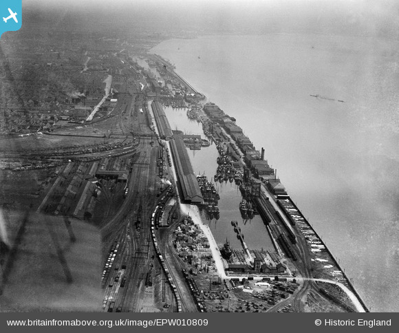
EPW010809 ENGLAND (1924). St Andrew's Dock, Kingston upon Hull, from the south-west, 1924
© Copyright OpenStreetMap contributors and licensed by the OpenStreetMap Foundation. 2026. Cartography is licensed as CC BY-SA.
Nearby Images (4)
EPW010809

EAW046150

EPW036385

EPW036549

Details
| Title | [EPW010809] St Andrew's Dock, Kingston upon Hull, from the south-west, 1924 |
| Reference | EPW010809 |
| Date | June-1924 |
| Link | |
| Place name | KINGSTON UPON HULL |
| Parish | |
| District | |
| Country | ENGLAND |
| Easting / Northing | 506898, 426731 |
| Longitude / Latitude | -0.37961088643661, 53.725788819057 |
| National Grid Reference | TA069267 |
Pins
Be the first to add a comment to this image!