
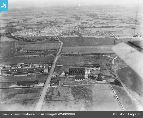
EPW009960 ENGLAND (1924). Factories on Chequers Road, Dagenham, from the south, 1924
© Copyright OpenStreetMap contributors and licensed by the OpenStreetMap Foundation. 2026. Cartography is licensed as CC BY-SA.
Nearby Images (23)
EPW009960

EAW052709

EPW051134

EAW052707

EAW052712

EPW051133

EAW052710

EAW052708

EAW052706

EAW052713

EPW040938

EPW040939

EAW052711

EPW037318

EPW040935

EPW040937

EPW037319

EPW040933

EAW031619

EAW031622

EPW040934

EAW031625

EAW031757

Details
| Title | [EPW009960] Factories on Chequers Road, Dagenham, from the south, 1924 |
| Reference | EPW009960 |
| Date | March-1924 |
| Link | |
| Place name | DAGENHAM |
| Parish | |
| District | |
| Country | ENGLAND |
| Easting / Northing | 549060, 182566 |
| Longitude / Latitude | 0.1487906379901, 51.521832624493 |
| National Grid Reference | TQ491826 |
Pins
Be the first to add a comment to this image!