
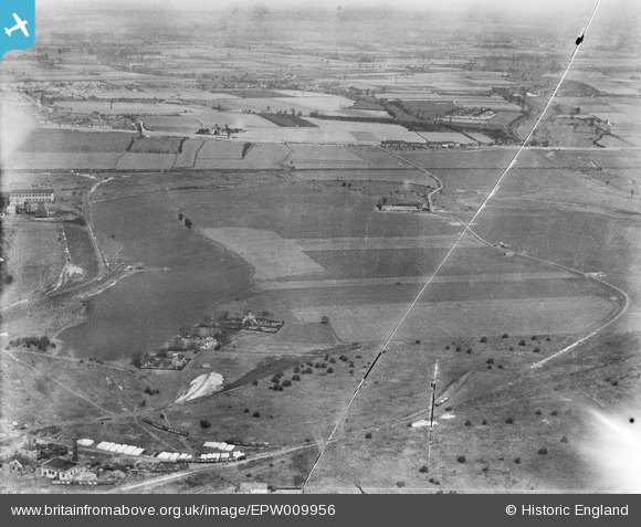
EPW009956 ENGLAND (1924). Havering and Dagenham Marshes at the Dagenham Breach, Dagenham, from the south, 1924
© Copyright OpenStreetMap contributors and licensed by the OpenStreetMap Foundation. 2026. Cartography is licensed as CC BY-SA.
Nearby Images (11)
EPW009956

EPW062036

EAW000072

EAW029518

EPW060999

EAW022774

EPW061001

EAW041029

EAW029519

EAW029513

EAW022777

Details
| Title | [EPW009956] Havering and Dagenham Marshes at the Dagenham Breach, Dagenham, from the south, 1924 |
| Reference | EPW009956 |
| Date | March-1924 |
| Link | |
| Place name | DAGENHAM |
| Parish | |
| District | |
| Country | ENGLAND |
| Easting / Northing | 549442, 182124 |
| Longitude / Latitude | 0.15410574595755, 51.517759802909 |
| National Grid Reference | TQ494821 |
Pins
Be the first to add a comment to this image!