
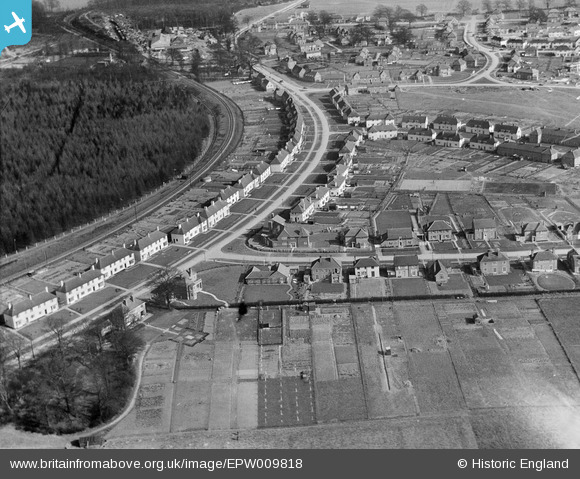
EPW009818 ENGLAND (1924). Brockswood Lane, Welwyn Garden City, 1924
© Copyright OpenStreetMap contributors and licensed by the OpenStreetMap Foundation. 2026. Cartography is licensed as CC BY-SA.
Nearby Images (3)
EPW009818

EPW022036

EPW054543

Details
| Title | [EPW009818] Brockswood Lane, Welwyn Garden City, 1924 |
| Reference | EPW009818 |
| Date | March-1924 |
| Link | |
| Place name | WELWYN GARDEN CITY |
| Parish | |
| District | |
| Country | ENGLAND |
| Easting / Northing | 522887, 213282 |
| Longitude / Latitude | -0.21748955879914, 51.804208452331 |
| National Grid Reference | TL229133 |
Pins
Be the first to add a comment to this image!