
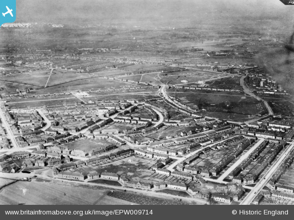
EPW009714 ENGLAND (1923). The Becontree Estate around Farmway, Becontree, from the south-east, 1923. This image has been produced from a copy-negative.
© Copyright OpenStreetMap contributors and licensed by the OpenStreetMap Foundation. 2026. Cartography is licensed as CC BY-SA.
Nearby Images (4)
EPW009714

EPW009713

EPW009716

EPW009715

Details
| Title | [EPW009714] The Becontree Estate around Farmway, Becontree, from the south-east, 1923. This image has been produced from a copy-negative. |
| Reference | EPW009714 |
| Date | 1923 |
| Link | |
| Place name | BECONTREE |
| Parish | |
| District | |
| Country | ENGLAND |
| Easting / Northing | 547474, 185937 |
| Longitude / Latitude | 0.12735691500548, 51.552541677237 |
| National Grid Reference | TQ475859 |
Pins
Be the first to add a comment to this image!