
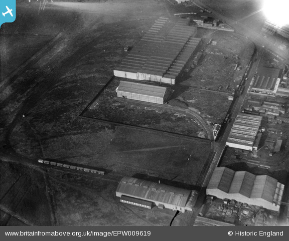
EPW009619 ENGLAND (1923). The Ocean Iron Works and Anaconda Mills, Trafford Park, 1923
© Copyright OpenStreetMap contributors and licensed by the OpenStreetMap Foundation. 2026. Cartography is licensed as CC BY-SA.
Nearby Images (44)
EPW009619

EAW036244

EPW009627

EAW036245

EAW036243

EPW009613

EAW036241

EAW036240

EAW036239

EAW036238

EAW036242

EPW027478

EPW009616

EPW027462

EPW009612

EAW002499

EPW009620

EAW021922

EPW009614

EPW009618

EAW021920

EPW009610

EAW021919

EAW050194

EAW002501

EAW021918

EAW002497

EPW009608

EPW009617

EAW021923

EAW021924

EAW002500

EAW050189

EPW009609

EAW050187

EAW050188

EAW050192

EAW050195

EAW002502

EPW009611

EAW021921

EAW002504

EAW002505

EAW050190

Details
| Title | [EPW009619] The Ocean Iron Works and Anaconda Mills, Trafford Park, 1923 |
| Reference | EPW009619 |
| Date | 1923 |
| Link | |
| Place name | TRAFFORD PARK |
| Parish | |
| District | |
| Country | ENGLAND |
| Easting / Northing | 378809, 397298 |
| Longitude / Latitude | -2.3192852441986, 53.471735868271 |
| National Grid Reference | SJ788973 |
Pins
Be the first to add a comment to this image!