
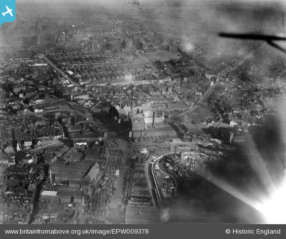
EPW009378 ENGLAND (1923). The Clarence Mills and environs, Kingston upon Hull, 1923
© Copyright OpenStreetMap contributors and licensed by the OpenStreetMap Foundation. 2026. Cartography is licensed as CC BY-SA.
Nearby Images (19)
EPW009378

EAW036973

EAW036962

EAW036963

EAW036966

EAW036972

EAW036970

EAW036861

EPW012700

EAW036968

EAW036971

EAW036967

EAW036965

EAW036969

EAW036964

EPW036505

EAW046137

EAW015646

EPW055046

Details
| Title | [EPW009378] The Clarence Mills and environs, Kingston upon Hull, 1923 |
| Reference | EPW009378 |
| Date | 1923 |
| Link | |
| Place name | KINGSTON UPON HULL |
| Parish | |
| District | |
| Country | ENGLAND |
| Easting / Northing | 510435, 429007 |
| Longitude / Latitude | -0.32520789678261, 53.745502483754 |
| National Grid Reference | TA104290 |
Pins
Be the first to add a comment to this image!