
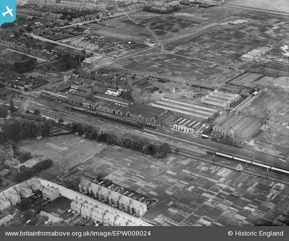
EPW008024 ENGLAND (1922). G.D. Peters and Co Windsor Works, Slough, 1922
© Copyright OpenStreetMap contributors and licensed by the OpenStreetMap Foundation. 2026. Cartography is licensed as CC BY-SA.
Nearby Images (22)
EPW008024

EPW008023

EPW008025

EPW008020

EPW008022

EPW008021

EAW042298

EAW042299

EPW034719
 in flight above Slough Railway Station, Slough, from the south-west, 1930. This image has been produced from a damaged negative.")
EAW042297

EPW042975

EAW042294

EPW042976

EAW042296

EAW042295

EAW042293

EAW030169

EAW042302

EAW042301

EAW042300

EPW021899

EPW021898

Details
| Title | [EPW008024] G.D. Peters and Co Windsor Works, Slough, 1922 |
| Reference | EPW008024 |
| Date | July-1922 |
| Link | |
| Place name | SLOUGH |
| Parish | |
| District | |
| Country | ENGLAND |
| Easting / Northing | 498074, 180165 |
| Longitude / Latitude | -0.58656866065311, 51.511407293961 |
| National Grid Reference | SU981802 |
Pins

Mike Holder |
Monday 19th of January 2015 04:40:43 PM | |
|
Mike Holder |
Sunday 19th of May 2013 03:18:10 PM | |
|
Mike Holder |
Sunday 19th of May 2013 03:14:50 PM |