
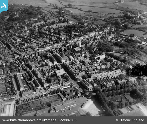
EPW007035 ENGLAND (1921). The town centre, Ashford, 1921
© Copyright OpenStreetMap contributors and licensed by the OpenStreetMap Foundation. 2026. Cartography is licensed as CC BY-SA.
Nearby Images (14)
EPW007035

EPW001440

EPW026086

EPW026091

EPW009217

EPW009142

EPW000710

EPW009218

EPW026096

EPW026089

EPW026100

EAW026215

EAW013658

EPW026088

Details
| Title | [EPW007035] The town centre, Ashford, 1921 |
| Reference | EPW007035 |
| Date | 16-September-1921 |
| Link | |
| Place name | ASHFORD |
| Parish | |
| District | |
| Country | ENGLAND |
| Easting / Northing | 600958, 142714 |
| Longitude / Latitude | 0.87356046068717, 51.147829729759 |
| National Grid Reference | TR010427 |
Pins
Be the first to add a comment to this image!