
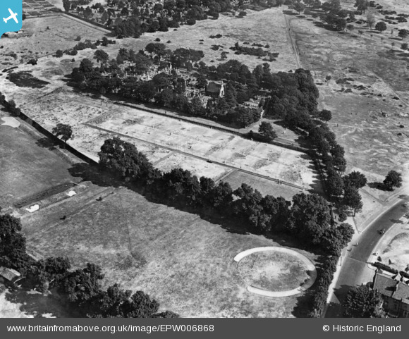
EPW006868 ENGLAND (1921). The Ranelagh Club alongside Barnes Cemetery, Barnes, 1921. This image has been produced from a print.
© Copyright OpenStreetMap contributors and licensed by the OpenStreetMap Foundation. 2026. Cartography is licensed as CC BY-SA.
Nearby Images (2)
EPW006868

EAW030142

Details
| Title | [EPW006868] The Ranelagh Club alongside Barnes Cemetery, Barnes, 1921. This image has been produced from a print. |
| Reference | EPW006868 |
| Date | 10-July-1921 |
| Link | |
| Place name | BARNES |
| Parish | |
| District | |
| Country | ENGLAND |
| Easting / Northing | 522650, 176211 |
| Longitude / Latitude | -0.23391930334056, 51.471066776727 |
| National Grid Reference | TQ227762 |
Pins
Be the first to add a comment to this image!