
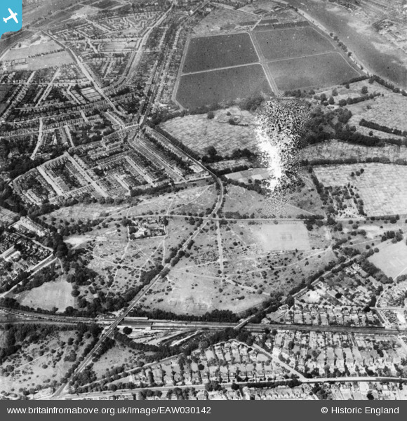
EAW030142 ENGLAND (1950). Barnes Common and environs, Barnes, 1950. This image has been produced from a damaged print.
© Copyright OpenStreetMap contributors and licensed by the OpenStreetMap Foundation. 2026. Cartography is licensed as CC BY-SA.
Nearby Images (2)
EAW030142

EPW006868

Details
| Title | [EAW030142] Barnes Common and environs, Barnes, 1950. This image has been produced from a damaged print. |
| Reference | EAW030142 |
| Date | 6-June-1950 |
| Link | |
| Place name | BARNES |
| Parish | |
| District | |
| Country | ENGLAND |
| Easting / Northing | 522485, 176133 |
| Longitude / Latitude | -0.23632102623449, 51.470401439317 |
| National Grid Reference | TQ225761 |
