
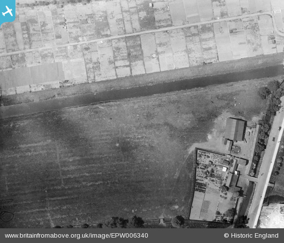
EPW006340 ENGLAND (1921). Allotments and open ground to the north of the Hull Corporation Electricity Works, Sculcoates, 1921
© Copyright OpenStreetMap contributors and licensed by the OpenStreetMap Foundation. 2026. Cartography is licensed as CC BY-SA.
Nearby Images (13)
EPW006340

EAW031228

EAW031231

EAW031229

EAW031227

EAW031225

EAW031226

EAW031230

EAW031232

EPW006335

EPW006341

EPW006336

EPW042056

Details
| Title | [EPW006340] Allotments and open ground to the north of the Hull Corporation Electricity Works, Sculcoates, 1921 |
| Reference | EPW006340 |
| Date | May-1921 |
| Link | |
| Place name | SCULCOATES |
| Parish | |
| District | |
| Country | ENGLAND |
| Easting / Northing | 509149, 431316 |
| Longitude / Latitude | -0.34388543759659, 53.766520450283 |
| National Grid Reference | TA091313 |
Pins
Be the first to add a comment to this image!