
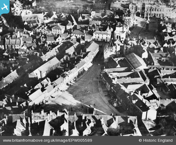
EPW005589 ENGLAND (1921). The town centre, Aylesbury, 1921. This image has been produced from a copy-negative.
© Copyright OpenStreetMap contributors and licensed by the OpenStreetMap Foundation. 2026. Cartography is licensed as CC BY-SA.
Nearby Images (9)
EPW005589

EAW009508

EPW005231

EPW005232

EAW004150

EPW005230

EPW005587

EPW005585

EPW010570

Details
| Title | [EPW005589] The town centre, Aylesbury, 1921. This image has been produced from a copy-negative. |
| Reference | EPW005589 |
| Date | March-1921 |
| Link | |
| Place name | AYLESBURY |
| Parish | AYLESBURY |
| District | |
| Country | ENGLAND |
| Easting / Northing | 481902, 213842 |
| Longitude / Latitude | -0.81168362203682, 51.816751089092 |
| National Grid Reference | SP819138 |
Pins

Vicky |
Sunday 5th of February 2017 08:30:58 PM |