
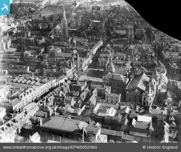
EPW005298A ENGLAND (1921). Corn Hill, Ipswich, 1921
© Copyright OpenStreetMap contributors and licensed by the OpenStreetMap Foundation. 2026. Cartography is licensed as CC BY-SA.
Nearby Images (10)
EPW005298A

EPW058744

EPW005255

EPW005249

EPW041399

EPW032875

EPW001834

EPW001831

EPW001824

EPW001835

Details
| Title | [EPW005298A] Corn Hill, Ipswich, 1921 |
| Reference | EPW005298A |
| Date | January-1921 |
| Link | |
| Place name | IPSWICH |
| Parish | |
| District | |
| Country | ENGLAND |
| Easting / Northing | 616236, 244639 |
| Longitude / Latitude | 1.1545370846166, 52.057445664468 |
| National Grid Reference | TM162446 |
Pins

APR |
Tuesday 23rd of October 2018 07:42:12 PM |