
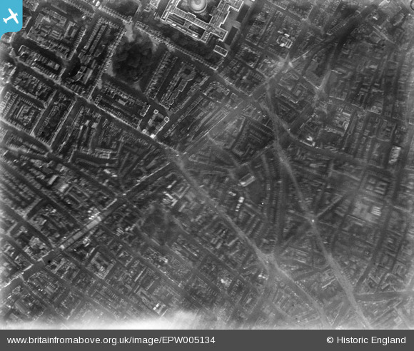
EPW005134 ENGLAND (1920). High Street and environs, St Giles, London, 1920
© Copyright OpenStreetMap contributors and licensed by the OpenStreetMap Foundation. 2026. Cartography is licensed as CC BY-SA.
Nearby Images (14)
EPW005134

EAW050834

EPW006168

EAW041948

EAW041943

EAW052493

EPW006159

EAW050857

EAW041947

EAW041949

EAW050858

EAW050848

EAW041944

EAW041942

Details
| Title | [EPW005134] High Street and environs, St Giles, London, 1920 |
| Reference | EPW005134 |
| Date | October-1920 |
| Link | |
| Place name | ST GILES |
| Parish | |
| District | |
| Country | ENGLAND |
| Easting / Northing | 529896, 181338 |
| Longitude / Latitude | -0.12775240976474, 51.515529480708 |
| National Grid Reference | TQ299813 |
Pins

Class31 |
Sunday 29th of June 2014 05:21:01 PM | |
|
Class31 |
Tuesday 27th of May 2014 05:29:29 PM | |
|
Class31 |
Tuesday 27th of May 2014 05:26:47 PM | |
 |
Class31 |
Tuesday 27th of May 2014 05:25:31 PM |

Alan McFaden |
Monday 24th of March 2014 10:25:39 AM | |
|
Alan McFaden |
Sunday 21st of July 2013 01:52:40 PM | |

dave43 |
Tuesday 11th of December 2012 08:09:12 PM | |
|
Ian |
Tuesday 26th of June 2012 12:51:47 PM |


