
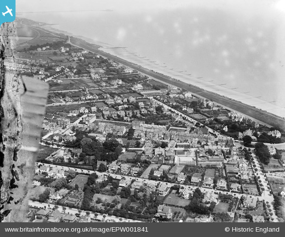
EPW001841 ENGLAND (1920). View of the town centre, Frinton-on-Sea, 1920
© Copyright OpenStreetMap contributors and licensed by the OpenStreetMap Foundation. 2026. Cartography is licensed as CC BY-SA.
Nearby Images (3)
EPW001841

EAW025895

EPW018529

Details
| Title | [EPW001841] View of the town centre, Frinton-on-Sea, 1920 |
| Reference | EPW001841 |
| Date | June-1920 |
| Link | |
| Place name | FRINTON-ON-SEA |
| Parish | FRINTON AND WALTON |
| District | |
| Country | ENGLAND |
| Easting / Northing | 623840, 219813 |
| Longitude / Latitude | 1.2491159142591, 51.831556342027 |
| National Grid Reference | TM238198 |
Pins
 |

Elizabeth |
Friday 19th of April 2024 11:21:58 AM |