
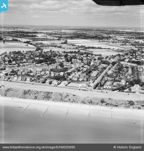
EAW025895 ENGLAND (1949). The Esplanade, Queen's Road and environs, Frinton-On-Sea, from the south-east, 1949
© Copyright OpenStreetMap contributors and licensed by the OpenStreetMap Foundation. 2026. Cartography is licensed as CC BY-SA.
Nearby Images (3)
EAW025895

EPW018529

EPW001841

Details
| Title | [EAW025895] The Esplanade, Queen's Road and environs, Frinton-On-Sea, from the south-east, 1949 |
| Reference | EAW025895 |
| Date | 10-August-1949 |
| Link | |
| Place name | FRINTON-ON-SEA |
| Parish | FRINTON AND WALTON |
| District | |
| Country | ENGLAND |
| Easting / Northing | 624048, 219734 |
| Longitude / Latitude | 1.2520787240853, 51.830763739084 |
| National Grid Reference | TM240197 |
Pins

TimW |
Tuesday 30th of December 2025 11:41:28 AM |