
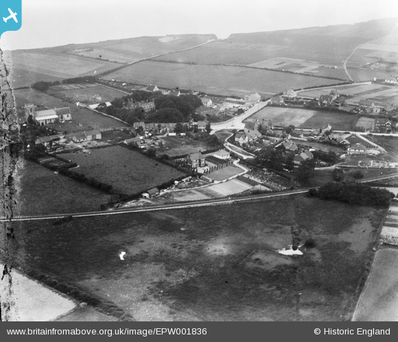
EPW001836 ENGLAND (1920). Cromer Road, West Runton, 1920
© Copyright OpenStreetMap contributors and licensed by the OpenStreetMap Foundation. 2026. Cartography is licensed as CC BY-SA.
Nearby Images (2)
EPW001836

EPW001837

Details
| Title | [EPW001836] Cromer Road, West Runton, 1920 |
| Reference | EPW001836 |
| Date | June-1920 |
| Link | |
| Place name | WEST RUNTON |
| Parish | RUNTON |
| District | |
| Country | ENGLAND |
| Easting / Northing | 617971, 342638 |
| Longitude / Latitude | 1.2439765268782, 52.936488089009 |
| National Grid Reference | TG180426 |

