
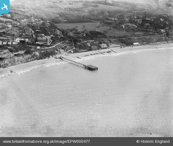
EPW000477 ENGLAND (1920). Totland Pier, Totland, 1920
© Copyright OpenStreetMap contributors and licensed by the OpenStreetMap Foundation. 2026. Cartography is licensed as CC BY-SA.
Nearby Images (5)
EPW000477

EAW038613

EPW022968

EAW038612

EPW022969

Details
| Title | [EPW000477] Totland Pier, Totland, 1920 |
| Reference | EPW000477 |
| Date | April-1920 |
| Link | |
| Place name | TOTLAND |
| Parish | TOTLAND |
| District | |
| Country | ENGLAND |
| Easting / Northing | 432200, 87181 |
| Longitude / Latitude | -1.5441677257032, 50.682815219813 |
| National Grid Reference | SZ322872 |
Pins
Be the first to add a comment to this image!