
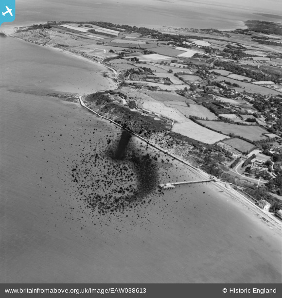
EAW038613 ENGLAND (1951). Totland Pier and Colwell Bay, Totland, from the south-west, 1951. This image has been produced from a damaged negative.
© Copyright OpenStreetMap contributors and licensed by the OpenStreetMap Foundation. 2026. Cartography is licensed as CC BY-SA.
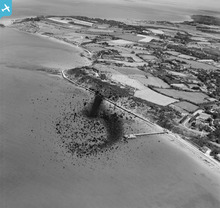
Nearby Images (5)
EAW038613

EPW000477

EPW022968

EAW038612

EPW022970

Details
| Title | [EAW038613] Totland Pier and Colwell Bay, Totland, from the south-west, 1951. This image has been produced from a damaged negative. |
| Reference | EAW038613 |
| Date | 13-August-1951 |
| Link | |
| Place name | TOTLAND |
| Parish | TOTLAND |
| District | |
| Country | ENGLAND |
| Easting / Northing | 432111, 87224 |
| Longitude / Latitude | -1.5454238561366, 50.683206859449 |
| National Grid Reference | SZ321872 |
Pins

Matt Aldred edob.mattaldred.com |
Monday 8th of March 2021 03:05:46 PM | |

cptpies |
Thursday 8th of May 2014 10:23:38 AM | |
|
cptpies |
Thursday 8th of May 2014 10:16:19 AM | |
|
cptpies |
Thursday 8th of May 2014 10:15:42 AM | |
|
cptpies |
Thursday 8th of May 2014 10:15:20 AM | |
|
cptpies |
Thursday 8th of May 2014 10:13:55 AM | |
|
cptpies |
Thursday 8th of May 2014 10:12:03 AM |
User Comment Contributions
Coast Artillery Battery, Searchlights and unrecorded pillboxes. |
cptpies |
Thursday 8th of May 2014 10:18:46 AM |