
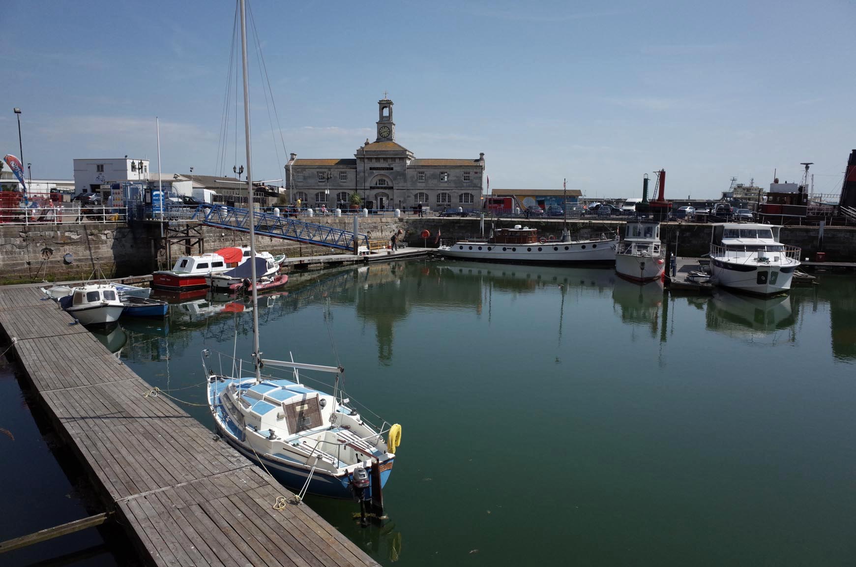
EPW000373 ENGLAND (1920). The Harbour and Esplanade, Ramsgate, from the north-east, 1920

© Copyright OpenStreetMap contributors and licensed by the OpenStreetMap Foundation. 2026. Cartography is licensed as CC BY-SA.
Nearby Images (13)
EPW000373

EPW000698

EPW048781

EAW009012

EPW039323

EAW009011

EPW048782

EAW009013

EAW009002

EPW035447

EPW000597

EPW052886

EPW035446

Details
| Title | [EPW000373] The Harbour and Esplanade, Ramsgate, from the north-east, 1920 |
| Reference | EPW000373 |
| Date | April-1920 |
| Link | |
| Place name | RAMSGATE |
| Parish | RAMSGATE |
| District | |
| Country | ENGLAND |
| Easting / Northing | 638955, 165315 |
| Longitude / Latitude | 1.4310134110198, 51.336118327544 |
| National Grid Reference | TR390653 |
Pins

yes |
Thursday 27th of February 2025 09:57:17 PM | |
|
Gen_Hancock |
Wednesday 8th of February 2017 04:21:08 PM | |

Alan McFaden |
Wednesday 10th of December 2014 02:49:49 PM | |
|
Alan McFaden |
Wednesday 10th of December 2014 02:49:15 PM | |
|
EZTD |
Friday 2nd of November 2012 09:58:51 AM |


User Comment Contributions
Ramsgate Harbour |
Alan McFaden |
Wednesday 10th of December 2014 02:45:50 PM |