
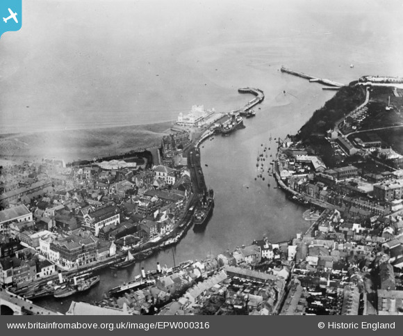
EPW000316 ENGLAND (1920). The harbour, Weymouth, 1920. This image has been produced from a copy-negative.
© Copyright OpenStreetMap contributors and licensed by the OpenStreetMap Foundation. 2026. Cartography is licensed as CC BY-SA.
Nearby Images (8)
EPW000316

EPW000313

EPW013679

EPW013595

EPW013672

EPW013677

EPW013604

EPW013603

Details
| Title | [EPW000316] The harbour, Weymouth, 1920. This image has been produced from a copy-negative. |
| Reference | EPW000316 |
| Date | April-1920 |
| Link | |
| Place name | WEYMOUTH |
| Parish | |
| District | |
| Country | ENGLAND |
| Easting / Northing | 368206, 78778 |
| Longitude / Latitude | -2.4493636347796, 50.60726477179 |
| National Grid Reference | SY682788 |
Pins

mannidaze |
Wednesday 23rd of January 2019 09:53:10 PM | |

Class31 |
Saturday 20th of September 2014 08:28:56 AM | |
|
Class31 |
Saturday 20th of September 2014 08:27:34 AM | |
|
Class31 |
Saturday 20th of September 2014 08:24:46 AM | |
|
mannidaze |
Saturday 13th of September 2014 09:01:33 PM |


User Comment Contributions

Nothe Fort |

Alan McFaden |
Friday 19th of September 2014 12:53:23 PM |

Nothe Fort Entrance |
Alan McFaden |
Friday 19th of September 2014 12:53:02 PM |

Nothe Fort |
Alan McFaden |
Friday 19th of September 2014 12:52:31 PM |
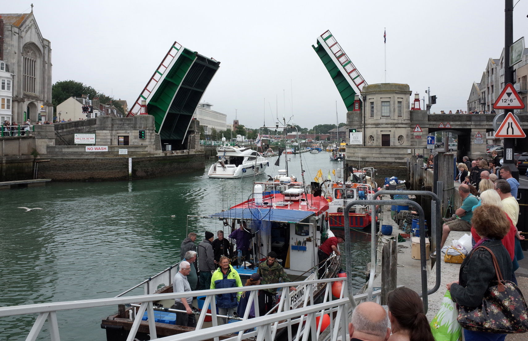
Weymoth Harbour Bridge 2013 |
Alan McFaden |
Friday 19th of September 2014 12:52:10 PM |

Weymouth Harbour 2013 |
Alan McFaden |
Friday 19th of September 2014 12:51:44 PM |