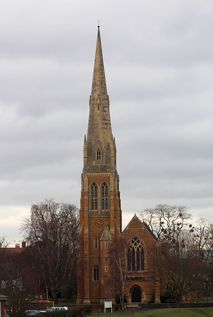
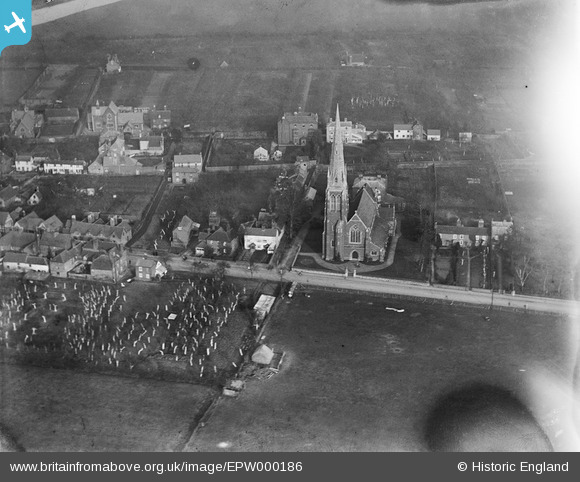
EPW000186 ENGLAND (1920). St Peter and St Paul's Church, Upton upon Severn, 1920
© Copyright OpenStreetMap contributors and licensed by the OpenStreetMap Foundation. 2026. Cartography is licensed as CC BY-SA.
Details
| Title | [EPW000186] St Peter and St Paul's Church, Upton upon Severn, 1920 |
| Reference | EPW000186 |
| Date | February-1920 |
| Link | |
| Place name | UPTON UPON SEVERN |
| Parish | UPTON-UPON-SEVERN |
| District | |
| Country | ENGLAND |
| Easting / Northing | 385150, 240304 |
| Longitude / Latitude | -2.2166259760069, 52.060497276439 |
| National Grid Reference | SO852403 |
Pins

Brian |
Monday 13th of August 2012 05:29:39 PM | |

Brian |
Monday 13th of August 2012 05:27:43 PM | |

SteveAUS |
Tuesday 24th of July 2012 05:41:38 AM | |

BobE |
Sunday 1st of July 2012 03:49:56 PM | |

BobE |
Wednesday 27th of June 2012 09:44:21 PM |
User Comment Contributions
Dear all, That’s great; we’ve reviewed your comments and thanks to your help we can update the catalogue. The revised record will appear here in due course. Hope you have the same success solving some of our other mysteries! Katy Whitaker Britain from Above Cataloguer |
Katy Whitaker |
Monday 2nd of July 2012 12:26:32 PM |
This is the same place as Image reference EPW023850, but 8 years apart: Title St Peter and St Paul's Church, Upton-upon-Severn, 1928 |

baronial |
Saturday 30th of June 2012 09:33:48 AM |
St Peter and sT Paul looking east |

Gareth |
Thursday 28th of June 2012 07:36:26 PM |

Church of St.Peter and St. Paul, Old Street Upton-upon-Severn. The river Severn can be seen in the top left corner. |

BobE |
Monday 25th of June 2012 07:00:18 PM |


![[EPW000186] St Peter and St Paul's Church, Upton upon Severn, 1920](http://britainfromabove.org.uk/sites/all/libraries/aerofilms-images/public/100x100/EPW/000/EPW000186.jpg)
![[EPW023850] St Peter and St Paul's Church, Upton-upon-Severn, 1928](http://britainfromabove.org.uk/sites/all/libraries/aerofilms-images/public/100x100/EPW/023/EPW023850.jpg)
![[EPW023855] The town, River Severn and Malvern Hills, Upton-upon-Severn, from the south-east, 1928](http://britainfromabove.org.uk/sites/all/libraries/aerofilms-images/public/100x100/EPW/023/EPW023855.jpg)