
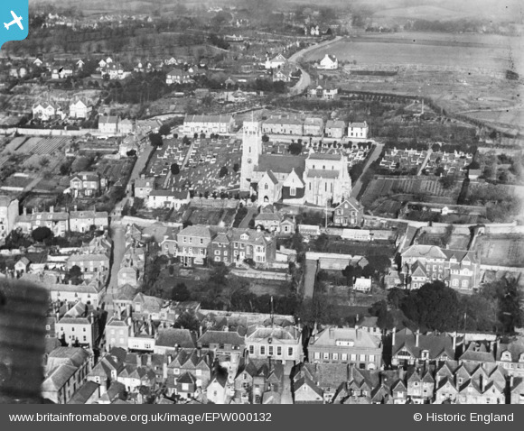
EPW000132 ENGLAND (1920). St Leonard's Church, Hythe, 1920. This image has been produced from a print.
© Copyright OpenStreetMap contributors and licensed by the OpenStreetMap Foundation. 2025. Cartography is licensed as CC BY-SA.
Nearby Images (5)
EPW000132

EPW000158

EPW026121

EPW009221

EPW026120

Details
| Title | [EPW000132] St Leonard's Church, Hythe, 1920. This image has been produced from a print. |
| Reference | EPW000132 |
| Date | February-1920 |
| Link | |
| Place name | HYTHE |
| Parish | HYTHE |
| District | |
| Country | ENGLAND |
| Easting / Northing | 616136, 134898 |
| Longitude / Latitude | 1.0855875996494, 51.072112180572 |
| National Grid Reference | TR161349 |
Pins
Be the first to add a comment to this image!