
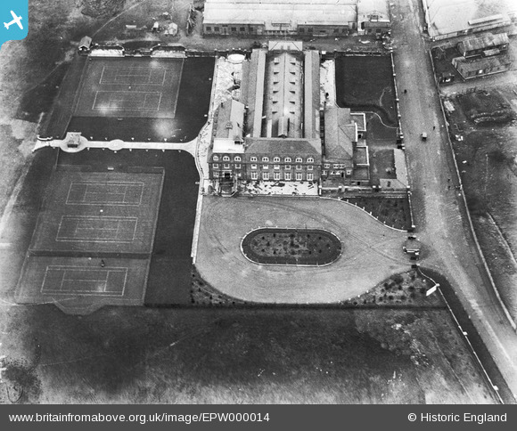
EPW000014 ENGLAND (1919). London Country Club, Hendon, 1919
© Copyright OpenStreetMap contributors and licensed by the OpenStreetMap Foundation. 2026. Cartography is licensed as CC BY-SA.
Nearby Images (26)
EPW000014

EPW000013

EPW000009

EPW002010

EPW000012

EPW002007

EPW009684

EPW002011

EPW000001

EPW000010

EPW002008A

EPW002008

EPW007392

EPW006859

EPW016608

EPW006132

EPW000006

EPW016611

EPW016610

EPW008760

EPW016609

EPW016606

EPW016605

EPW008852

EPR000650

EPW016607

Details
| Title | [EPW000014] London Country Club, Hendon, 1919 |
| Reference | EPW000014 |
| Date | 12-September-1919 |
| Link | |
| Place name | HENDON |
| Parish | |
| District | |
| Country | ENGLAND |
| Easting / Northing | 522036, 189765 |
| Longitude / Latitude | -0.23805778646441, 51.593025804991 |
| National Grid Reference | TQ220898 |
Pins

The Laird |
Monday 27th of April 2015 06:07:19 PM |