
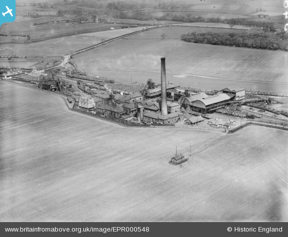
EPR000548 ENGLAND (1935). Park Collieries, Garswood, 1935
© Copyright OpenStreetMap contributors and licensed by the OpenStreetMap Foundation. 2025. Cartography is licensed as CC BY-SA.
Nearby Images (6)
EPR000548

EPR000586

EPR000547

EPR000585

EPR000546

EPR000548A

Details
| Title | [EPR000548] Park Collieries, Garswood, 1935 |
| Reference | EPR000548 |
| Date | 11-May-1935 |
| Link | |
| Place name | GARSWOOD |
| Parish | |
| District | |
| Country | ENGLAND |
| Easting / Northing | 356142, 399048 |
| Longitude / Latitude | -2.6610353774251, 53.486066044831 |
| National Grid Reference | SJ561990 |
