
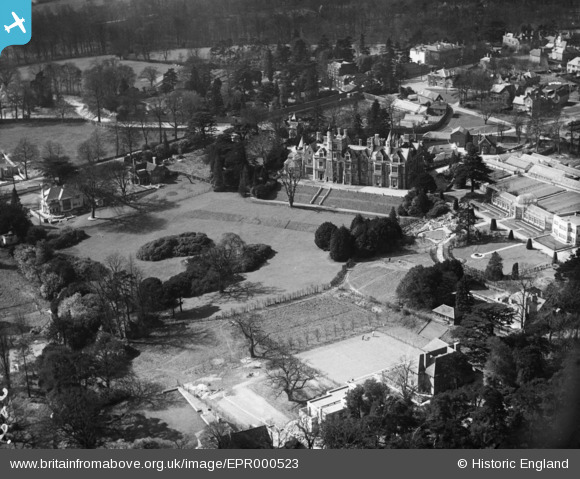
EPR000523 ENGLAND (1935). Stanmore Hall, Stanmore, 1935
© Copyright OpenStreetMap contributors and licensed by the OpenStreetMap Foundation. 2024. Cartography is licensed as CC BY-SA.
Nearby Images (2)
EPR000523

EPW053976

Details
| Title | [EPR000523] Stanmore Hall, Stanmore, 1935 |
| Reference | EPR000523 |
| Date | 27-March-1935 |
| Link | |
| Place name | STANMORE |
| Parish | |
| District | |
| Country | ENGLAND |
| Easting / Northing | 516545, 193026 |
| Longitude / Latitude | -0.31621425317458, 51.623500105525 |
| National Grid Reference | TQ165930 |
Pins
Be the first to add a comment to this image!