
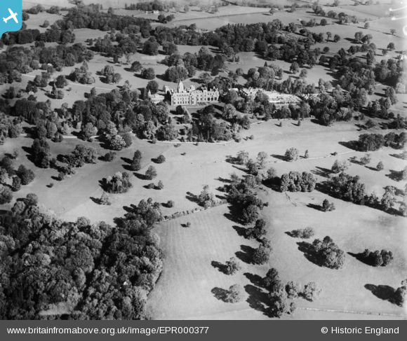
EPR000377 ENGLAND (1934). Westonbirt School, Westonbirt, 1934
© Copyright OpenStreetMap contributors and licensed by the OpenStreetMap Foundation. 2026. Cartography is licensed as CC BY-SA.
Nearby Images (6)
EPR000377

EAW018028

EPR000376

EAW018029

EPR000379

EPR000378

Details
| Title | [EPR000377] Westonbirt School, Westonbirt, 1934 |
| Reference | EPR000377 |
| Date | 28-September-1934 |
| Link | |
| Place name | WESTONBIRT |
| Parish | WESTONBIRT WITH LASBOROUGH |
| District | |
| Country | ENGLAND |
| Easting / Northing | 386470, 189353 |
| Longitude / Latitude | -2.1953778702398, 51.602382466595 |
| National Grid Reference | ST865894 |
Pins
Be the first to add a comment to this image!