
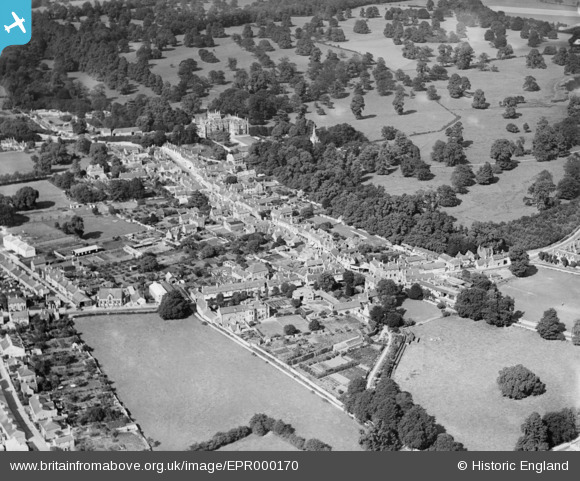
EPR000170 ENGLAND (1934). The town, Corsham, 1934
© Copyright OpenStreetMap contributors and licensed by the OpenStreetMap Foundation. 2026. Cartography is licensed as CC BY-SA.
Nearby Images (7)
EPR000170

EAW028643

EAW028642

EPW033514

EPW033512

EAW028639

EPW033508

Details
| Title | [EPR000170] The town, Corsham, 1934 |
| Reference | EPR000170 |
| Date | 8-July-1934 |
| Link | |
| Place name | CORSHAM |
| Parish | CORSHAM |
| District | |
| Country | ENGLAND |
| Easting / Northing | 387213, 170379 |
| Longitude / Latitude | -2.1839601286087, 51.431777384395 |
| National Grid Reference | ST872704 |
Pins

Class31 |
Wednesday 6th of April 2016 05:49:52 PM |
