
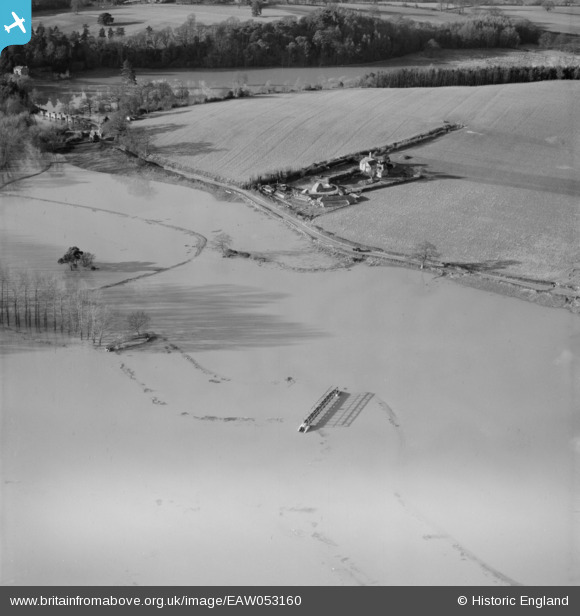
EAW053160 ENGLAND (1954). The River Arun in flood by the aqueduct and Coldharbour, Pulborough, 1954
© Copyright OpenStreetMap contributors and licensed by the OpenStreetMap Foundation. 2026. Cartography is licensed as CC BY-SA.
Nearby Images (3)
EAW053160

EAW053158

EAW053159

Details
| Title | [EAW053160] The River Arun in flood by the aqueduct and Coldharbour, Pulborough, 1954 |
| Reference | EAW053160 |
| Date | 20-February-1954 |
| Link | |
| Place name | PULBOROUGH |
| Parish | PULBOROUGH |
| District | |
| Country | ENGLAND |
| Easting / Northing | 503256, 118191 |
| Longitude / Latitude | -0.52977931091416, 50.953342538858 |
| National Grid Reference | TQ033182 |
Pins

Dan Gregory |
Saturday 20th of August 2016 12:59:19 PM | |
|
Dan Gregory |
Saturday 20th of August 2016 12:57:29 PM | |
|
Dan Gregory |
Saturday 20th of August 2016 12:56:32 PM | |
|
Dan Gregory |
Saturday 20th of August 2016 12:32:14 PM |