
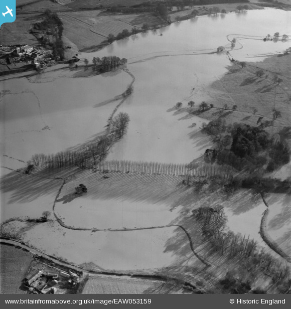
EAW053159 ENGLAND (1954). The River Arun in flood around the Midhurst to Stopham Canal junction, Stopham, 1954
© Copyright OpenStreetMap contributors and licensed by the OpenStreetMap Foundation. 2026. Cartography is licensed as CC BY-SA.
Nearby Images (3)
EAW053159

EAW053158

EAW053160

Details
| Title | [EAW053159] The River Arun in flood around the Midhurst to Stopham Canal junction, Stopham, 1954 |
| Reference | EAW053159 |
| Date | 20-February-1954 |
| Link | |
| Place name | STOPHAM |
| Parish | STOPHAM |
| District | |
| Country | ENGLAND |
| Easting / Northing | 503113, 118090 |
| Longitude / Latitude | -0.53184333012184, 50.952460117638 |
| National Grid Reference | TQ031181 |
Pins

Dan Gregory |
Saturday 20th of August 2016 12:37:02 PM |