
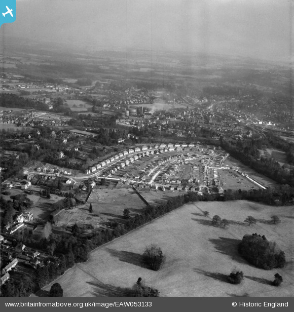
EAW053133 ENGLAND (1954). Housing under construction around Linden Avenue and the town, East Grinstead, from the north-west, 1954
© Copyright OpenStreetMap contributors and licensed by the OpenStreetMap Foundation. 2026. Cartography is licensed as CC BY-SA.
Nearby Images (7)
EAW053133

EAW053138

EAW053130

EAW053129

EAW053134

EAW053132A

EAW053131

Details
| Title | [EAW053133] Housing under construction around Linden Avenue and the town, East Grinstead, from the north-west, 1954 |
| Reference | EAW053133 |
| Date | 20-February-1954 |
| Link | |
| Place name | EAST GRINSTEAD |
| Parish | EAST GRINSTEAD |
| District | |
| Country | ENGLAND |
| Easting / Northing | 538141, 138755 |
| Longitude / Latitude | -0.025496187072688, 51.130863172062 |
| National Grid Reference | TQ381388 |
Pins
Be the first to add a comment to this image!