
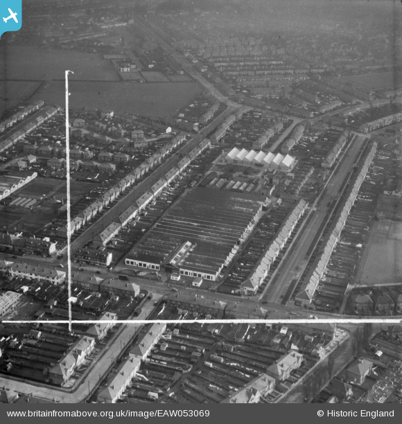
EAW053069 ENGLAND (1954). Smith Meters Ltd Works on Rowan Road, Mitcham, 1954. This image was marked by Aerofilms Ltd for photo editing.
© Copyright OpenStreetMap contributors and licensed by the OpenStreetMap Foundation. 2026. Cartography is licensed as CC BY-SA.
Nearby Images (24)
EAW053069

EAW053070

EAW007253

EAW053068

EAW007255

EAW007249

EAW007250

EAW007248

EAW007252

EAW053066

EAW053071

EAW007254

EAW053067

EAW053073

EAW053072

EAW007251

EAW017020

EAW017023

EAW017019

EAW017018

EAW017017

EAW017016

EAW017022

EAW017021

Details
| Title | [EAW053069] Smith Meters Ltd Works on Rowan Road, Mitcham, 1954. This image was marked by Aerofilms Ltd for photo editing. |
| Reference | EAW053069 |
| Date | 4-January-1954 |
| Link | |
| Place name | MITCHAM |
| Parish | |
| District | |
| Country | ENGLAND |
| Easting / Northing | 529497, 169475 |
| Longitude / Latitude | -0.13784597729799, 51.408998827506 |
| National Grid Reference | TQ295695 |
Pins
Be the first to add a comment to this image!