
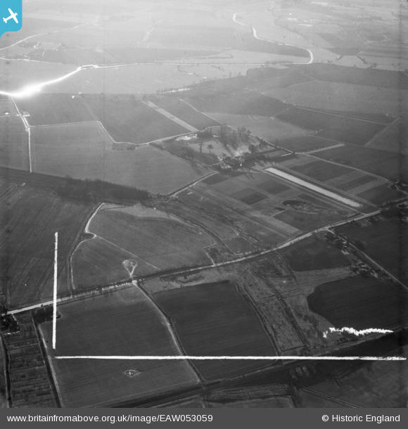
EAW053059 ENGLAND (1954). Boreham House and surrounding countryside, Boreham, from the west, 1954. This image was marked by Aerofilms Ltd for photo editing.
© Copyright OpenStreetMap contributors and licensed by the OpenStreetMap Foundation. 2025. Cartography is licensed as CC BY-SA.
Nearby Images (6)
EAW053059

EAW053052

EAW053060

EAW053053

EAW053054

EAW053055

Details
| Title | [EAW053059] Boreham House and surrounding countryside, Boreham, from the west, 1954. This image was marked by Aerofilms Ltd for photo editing. |
| Reference | EAW053059 |
| Date | 4-January-1954 |
| Link | |
| Place name | BOREHAM |
| Parish | BOREHAM |
| District | |
| Country | ENGLAND |
| Easting / Northing | 574584, 209491 |
| Longitude / Latitude | 0.52981089062824, 51.756402603654 |
| National Grid Reference | TL746095 |
Pins

Ian |
Saturday 8th of November 2014 09:36:39 AM | |
|
Ian |
Saturday 8th of November 2014 09:03:42 AM | |
|
Ian |
Saturday 8th of November 2014 09:02:52 AM | |
|
Ian |
Saturday 8th of November 2014 09:02:16 AM | |
|
Ian |
Saturday 8th of November 2014 09:01:43 AM | |
|
Ian |
Saturday 8th of November 2014 09:01:07 AM | |
|
Ian |
Saturday 8th of November 2014 08:57:10 AM | |
|
Ian |
Saturday 8th of November 2014 08:56:45 AM |