
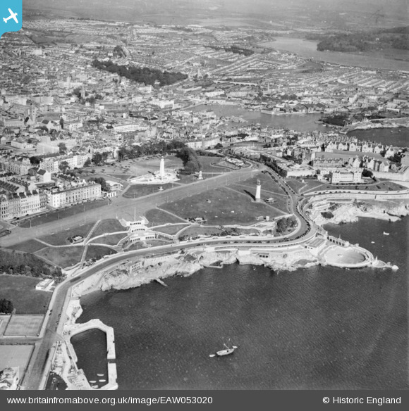
EAW053020 ENGLAND (1953). The Hoe and the city, Plymouth, 1953
© Copyright OpenStreetMap contributors and licensed by the OpenStreetMap Foundation. 2026. Cartography is licensed as CC BY-SA.
Nearby Images (7)
EAW053020

EPW054896

EAW053019

EPW011266

EAW015157

EAW031932

EPW054884

Details
| Title | [EAW053020] The Hoe and the city, Plymouth, 1953 |
| Reference | EAW053020 |
| Date | 19-November-1953 |
| Link | |
| Place name | PLYMOUTH |
| Parish | |
| District | |
| Country | ENGLAND |
| Easting / Northing | 247726, 53855 |
| Longitude / Latitude | -4.1412584713331, 50.364259425297 |
| National Grid Reference | SX477539 |
Pins
Be the first to add a comment to this image!