
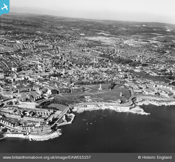
EAW015157 ENGLAND (1948). The Hoe and the city, Plymouth, 1948
© Copyright OpenStreetMap contributors and licensed by the OpenStreetMap Foundation. 2026. Cartography is licensed as CC BY-SA.
Nearby Images (6)
EAW015157

EPW054884

EAW053019

EPW011266

EPW054896

EAW053020

Details
| Title | [EAW015157] The Hoe and the city, Plymouth, 1948 |
| Reference | EAW015157 |
| Date | 29-April-1948 |
| Link | |
| Place name | PLYMOUTH |
| Parish | |
| District | |
| Country | ENGLAND |
| Easting / Northing | 247541, 53753 |
| Longitude / Latitude | -4.1438166665571, 50.363294746249 |
| National Grid Reference | SX475538 |
Pins

redmist |
Tuesday 15th of December 2020 02:18:35 PM | |
|
flyman |
Friday 23rd of October 2020 03:19:00 PM | |
|
flyman |
Friday 15th of September 2017 01:04:19 PM | |

Webrarian |
Thursday 26th of May 2016 01:52:19 PM | |
|
Webrarian |
Thursday 26th of May 2016 01:49:26 PM | |
|
Webrarian |
Thursday 26th of May 2016 01:47:48 PM | |

Class31 |
Sunday 19th of April 2015 07:39:54 PM | |
|
Class31 |
Sunday 19th of April 2015 07:39:01 PM | |
|
Class31 |
Sunday 19th of April 2015 07:38:16 PM | |
|
JM@Home |
Friday 17th of October 2014 11:12:31 PM | |
|
Coventry kid |
Friday 4th of April 2014 04:28:43 PM | |
|
Stockholm |
Tuesday 24th of December 2013 10:12:40 PM |


