
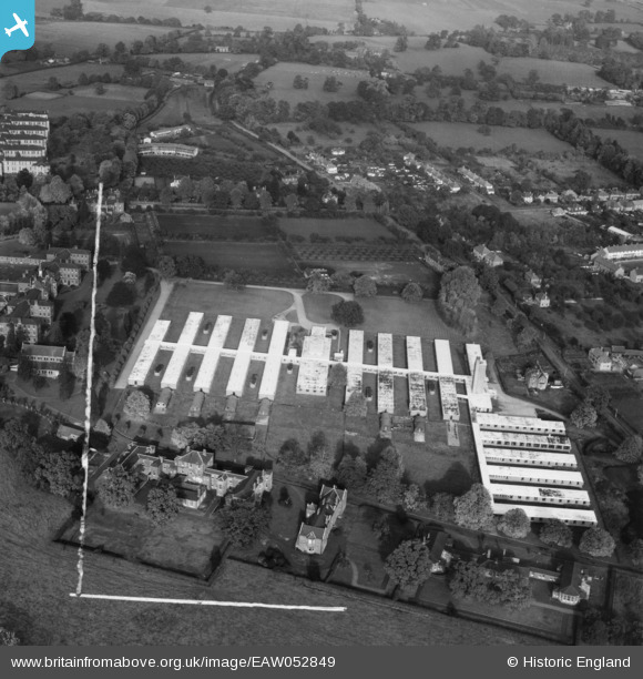
EAW052849 ENGLAND (1953). Abbots Langley Hospital, Abbots Langley, 1953. This image was marked by Aerofilms Ltd for photo editing.
© Copyright OpenStreetMap contributors and licensed by the OpenStreetMap Foundation. 2026. Cartography is licensed as CC BY-SA.
Nearby Images (16)
EAW052849

EAW052845

EAW052848

EPW047067

EAW052847

EAW052844

EAW052843

EAW052842

EAW052846

EPW047065

EPW047072

EPW047066

EPW047068

EPW047064

EPW047069

EPW047071

Details
| Title | [EAW052849] Abbots Langley Hospital, Abbots Langley, 1953. This image was marked by Aerofilms Ltd for photo editing. |
| Reference | EAW052849 |
| Date | 16-October-1953 |
| Link | |
| Place name | ABBOTS LANGLEY |
| Parish | ABBOTS LANGLEY |
| District | |
| Country | ENGLAND |
| Easting / Northing | 510291, 201323 |
| Longitude / Latitude | -0.40391147772155, 51.6993406662 |
| National Grid Reference | TL103013 |
Pins
Be the first to add a comment to this image!