
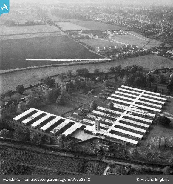
EAW052842 ENGLAND (1953). Abbots Langley Hospital, Abbots Langley, 1953. This image was marked by Aerofilms Ltd for photo editing.
© Copyright OpenStreetMap contributors and licensed by the OpenStreetMap Foundation. 2026. Cartography is licensed as CC BY-SA.
Nearby Images (9)
EAW052842

EAW052846

EAW052848

EAW052843

EAW052847

EAW052849

EAW052845

EAW052844

EPW047067

Details
| Title | [EAW052842] Abbots Langley Hospital, Abbots Langley, 1953. This image was marked by Aerofilms Ltd for photo editing. |
| Reference | EAW052842 |
| Date | 16-October-1953 |
| Link | |
| Place name | ABBOTS LANGLEY |
| Parish | ABBOTS LANGLEY |
| District | |
| Country | ENGLAND |
| Easting / Northing | 510148, 201229 |
| Longitude / Latitude | -0.40600974909922, 51.698523815967 |
| National Grid Reference | TL101012 |
Pins

Matt Aldred edob.mattaldred.com |
Monday 11th of March 2024 06:38:43 PM | |
|
Matt Aldred edob.mattaldred.com |
Monday 11th of March 2024 06:38:32 PM | |
|
Matt Aldred edob.mattaldred.com |
Monday 11th of March 2024 06:38:21 PM |