
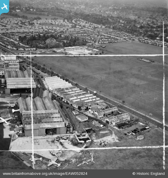
EAW052824 ENGLAND (1953). Rollason's premises at Croydon Airport and Purley Way Playing Fields, Croydon, 1953. This image was marked by Aerofilms Ltd for photo editing.
© Copyright OpenStreetMap contributors and licensed by the OpenStreetMap Foundation. 2026. Cartography is licensed as CC BY-SA.
Nearby Images (24)
EAW052824

EAW052829
 at Croydon Airport, Croydon, 1953. This image was marked by Aerofilms Ltd for photo editing.")
EAW052831
 at Croydon Airport, Croydon, 1953. This image was marked by Aerofilms Ltd for photo editing.")
EPW037826

EAW052828
 at Croydon Airport, Croydon, 1953. This image was marked by Aerofilms Ltd for photo editing.")
EAW052830
 at Croydon Airport, Croydon, 1953. This image was marked by Aerofilms Ltd for photo editing.")
EAW052827
 at Croydon Airport, Croydon, 1953. This image was marked by Aerofilms Ltd for photo editing.")
EAW052826

EPW060397

EAW052825

EPW025102

EPW037827

EPW037828

EPW046611

EPW046610

EPW037825

EPW046609

EPW025099

EPW025098

EPW021423

EPW021422

EPW025097

EPW060370

EPW046606

Details
| Title | [EAW052824] Rollason's premises at Croydon Airport and Purley Way Playing Fields, Croydon, 1953. This image was marked by Aerofilms Ltd for photo editing. |
| Reference | EAW052824 |
| Date | 15-October-1953 |
| Link | |
| Place name | CROYDON |
| Parish | |
| District | |
| Country | ENGLAND |
| Easting / Northing | 531298, 163461 |
| Longitude / Latitude | -0.11418622050937, 51.354531942762 |
| National Grid Reference | TQ313635 |
Pins

Matt Aldred edob.mattaldred.com |
Saturday 12th of August 2023 05:41:14 PM |