
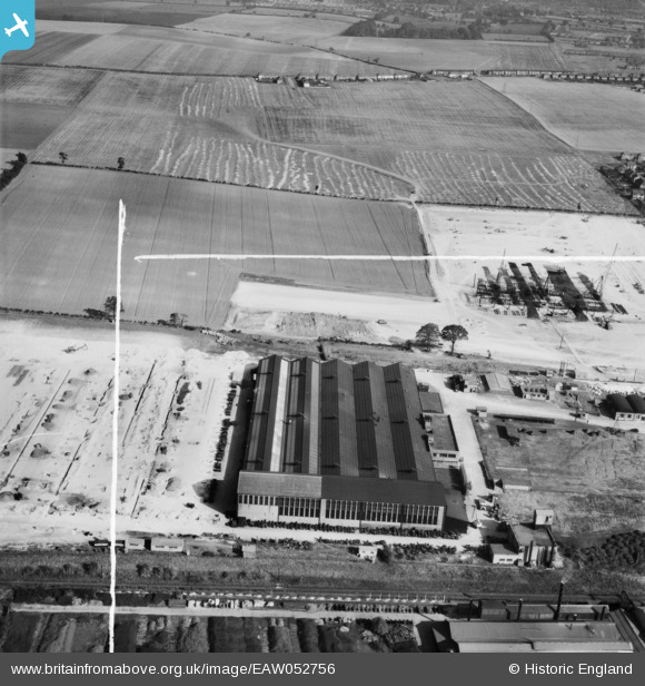
EAW052756 ENGLAND (1953). The Vauxhall (Bedford Truck) Dunstable Plant under construction, Dunstable, 1953. This image was marked by Aerofilms Ltd for photo editing.
© Copyright OpenStreetMap contributors and licensed by the OpenStreetMap Foundation. 2026. Cartography is licensed as CC BY-SA.
Nearby Images (11)
EAW052756
 Dunstable Plant under construction, Dunstable, 1953. This image was marked by Aerofilms Ltd for photo editing.")
EAW052765
 Dunstable Plant under construction, Dunstable, 1953")
EAW052757
 Dunstable Plant under construction, Dunstable, 1953. This image was marked by Aerofilms Ltd for photo editing.")
EAW052760
 Dunstable Plant under construction, Dunstable, 1953. This image was marked by Aerofilms Ltd for photo editing.")
EAW052762
 Dunstable Plant under construction, Dunstable, 1953")
EAW052758
 Dunstable Plant under construction, Dunstable, 1953. This image was marked by Aerofilms Ltd for photo editing.")
EAW052763
 Dunstable Plant, Dunstable under construction, 1953")
EAW052755
 Dunstable Plant under construction, Dunstable, 1953. This image was marked by Aerofilms Ltd for photo editing.")
EAW052764
 Dunstable Plant under construction, Dunstable, 1953. This image was marked by Aerofilms Ltd for photo editing.")
EAW052761
 Dunstable Plant under construction and environs, Dunstable, 1953")
EAW052759
 Dunstable Plant under construction, Dunstable, 1953. This image was marked by Aerofilms Ltd for photo editing.")
Details
| Title | [EAW052756] The Vauxhall (Bedford Truck) Dunstable Plant under construction, Dunstable, 1953. This image was marked by Aerofilms Ltd for photo editing. |
| Reference | EAW052756 |
| Date | 9-October-1953 |
| Link | |
| Place name | DUNSTABLE |
| Parish | DUNSTABLE |
| District | |
| Country | ENGLAND |
| Easting / Northing | 502586, 222363 |
| Longitude / Latitude | -0.50914834277512, 51.889931251384 |
| National Grid Reference | TL026224 |
Pins

Matt Aldred edob.mattaldred.com |
Thursday 7th of March 2024 05:11:42 PM |