
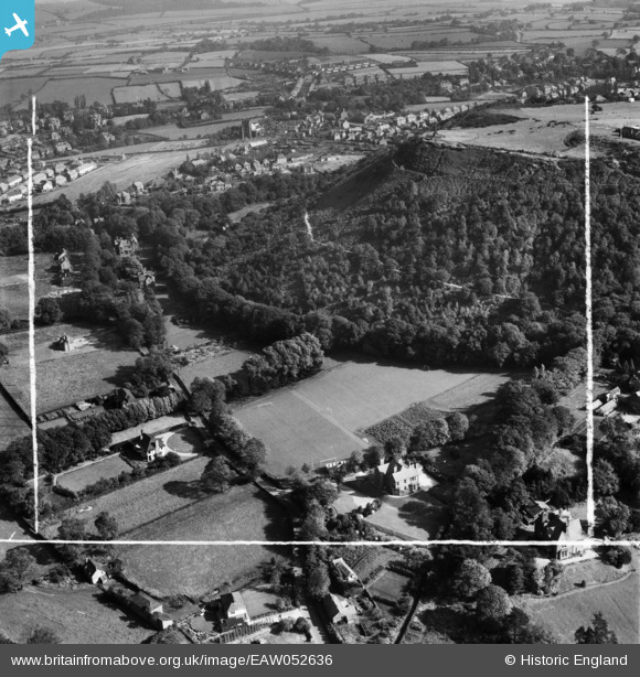
EAW052636 ENGLAND (1953). Howey Lane and environs, Frodsham, 1953. This image was marked by Aerofilms Ltd for photo editing.
© Copyright OpenStreetMap contributors and licensed by the OpenStreetMap Foundation. 2026. Cartography is licensed as CC BY-SA.
Nearby Images (6)
EAW052636

EAW052632

EAW052633

EAW052631

EAW052634

EAW052635

Details
| Title | [EAW052636] Howey Lane and environs, Frodsham, 1953. This image was marked by Aerofilms Ltd for photo editing. |
| Reference | EAW052636 |
| Date | 4-October-1953 |
| Link | |
| Place name | FRODSHAM |
| Parish | FRODSHAM |
| District | |
| Country | ENGLAND |
| Easting / Northing | 351577, 377061 |
| Longitude / Latitude | -2.7264614790119, 53.28802666115 |
| National Grid Reference | SJ516771 |
