
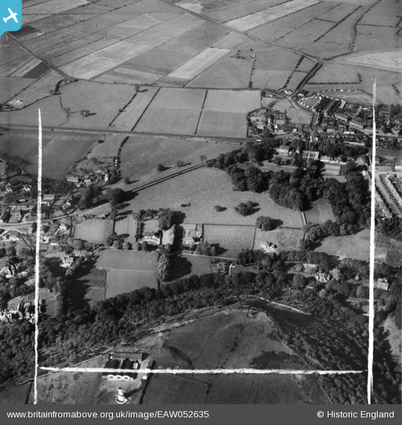
EAW052635 ENGLAND (1953). Castle Park, Howey Lane and environs, Frodsham, 1953. This image was marked by Aerofilms Ltd for photo editing.
© Copyright OpenStreetMap contributors and licensed by the OpenStreetMap Foundation. 2026. Cartography is licensed as CC BY-SA.
Nearby Images (6)
EAW052635

EAW052634

EAW052633

EAW052631

EAW052632

EAW052636

Details
| Title | [EAW052635] Castle Park, Howey Lane and environs, Frodsham, 1953. This image was marked by Aerofilms Ltd for photo editing. |
| Reference | EAW052635 |
| Date | 4-October-1953 |
| Link | |
| Place name | FRODSHAM |
| Parish | FRODSHAM |
| District | |
| Country | ENGLAND |
| Easting / Northing | 351453, 377252 |
| Longitude / Latitude | -2.7283508131109, 53.289732225723 |
| National Grid Reference | SJ515773 |
Pins

Ginger79 |
Monday 10th of May 2021 09:09:20 PM |