
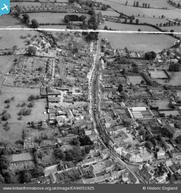
EAW051925 ENGLAND (1953). The High Street, Wincanton, 1953. This image was marked by Aerofilms Ltd for photo editing.
© Copyright OpenStreetMap contributors and licensed by the OpenStreetMap Foundation. 2026. Cartography is licensed as CC BY-SA.
Nearby Images (7)
EAW051925

EAW051926

EPW054754

EPW033739

EPW054755

EPW033738

EPW033735

Details
| Title | [EAW051925] The High Street, Wincanton, 1953. This image was marked by Aerofilms Ltd for photo editing. |
| Reference | EAW051925 |
| Date | 30-August-1953 |
| Link | |
| Place name | WINCANTON |
| Parish | WINCANTON |
| District | |
| Country | ENGLAND |
| Easting / Northing | 371482, 128692 |
| Longitude / Latitude | -2.4069479332277, 51.05632630115 |
| National Grid Reference | ST715287 |
Pins

TimDog |
Monday 4th of April 2016 06:32:28 PM |