
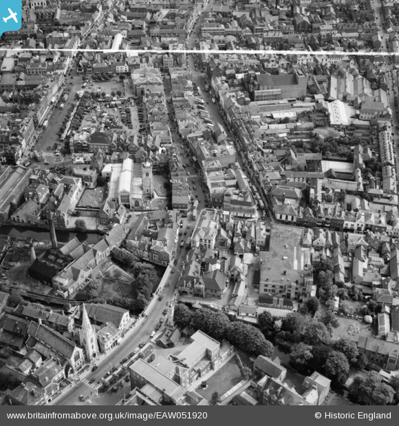
EAW051920 ENGLAND (1953). St Thomas's Church, New Canal and the city centre, Salisbury, 1953. This image was marked by Aerofilms Ltd for photo editing.
© Copyright OpenStreetMap contributors and licensed by the OpenStreetMap Foundation. 2026. Cartography is licensed as CC BY-SA.
Nearby Images (10)
EAW051920

EPW011043

EAW051921

EAW051973

EAW051970

EAW051917

EAW051918

EAW051919

EAW051971

EAW025830

Details
| Title | [EAW051920] St Thomas's Church, New Canal and the city centre, Salisbury, 1953. This image was marked by Aerofilms Ltd for photo editing. |
| Reference | EAW051920 |
| Date | 30-August-1953 |
| Link | |
| Place name | SALISBURY |
| Parish | SALISBURY |
| District | |
| Country | ENGLAND |
| Easting / Northing | 414320, 129933 |
| Longitude / Latitude | -1.7956043689525, 51.068016536385 |
| National Grid Reference | SU143299 |
Pins
Be the first to add a comment to this image!