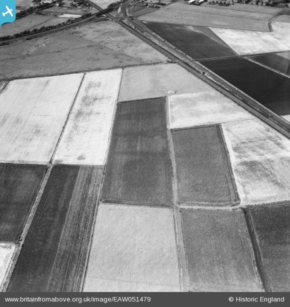
EAW051479 ENGLAND (1953). The Manchester and Southport Railway and Liverpool, Southport and Preston Junction Railway lines and surrounding fields near Boundary Brook, Pool Hey, 1953
© Copyright OpenStreetMap contributors and licensed by the OpenStreetMap Foundation. 2026. Cartography is licensed as CC BY-SA.
Nearby Images (6)
Details
| Title | [EAW051479] The Manchester and Southport Railway and Liverpool, Southport and Preston Junction Railway lines and surrounding fields near Boundary Brook, Pool Hey, 1953 |
| Reference | EAW051479 |
| Date | 12-August-1953 |
| Link | |
| Place name | POOL HEY |
| Parish | SCARISBRICK |
| District | |
| Country | ENGLAND |
| Easting / Northing | 336647, 415626 |
| Longitude / Latitude | -2.9581907447993, 53.633085033741 |
| National Grid Reference | SD366156 |
Pins

John Howard |
Thursday 22nd of October 2020 05:39:34 PM | |

John Howard |
Thursday 22nd of October 2020 05:38:24 PM | |

John Howard |
Thursday 22nd of October 2020 05:37:42 PM | |

John Howard |
Thursday 22nd of October 2020 05:36:18 PM |


![[EAW051479] The Manchester and Southport Railway and Liverpool, Southport and Preston Junction Railway lines and surrounding fields near Boundary Brook, Pool Hey, 1953](http://britainfromabove.org.uk/sites/all/libraries/aerofilms-images/public/100x100/EAW/051/EAW051479.jpg)
![[EAW051471] Scarisbrick (South) Road, Pool Hey Lane and surrounding fields, Pool Hey, 1953](http://britainfromabove.org.uk/sites/all/libraries/aerofilms-images/public/100x100/EAW/051/EAW051471.jpg)
![[EAW051472] Fields around Pool Hey House, Pool Hey, 1953](http://britainfromabove.org.uk/sites/all/libraries/aerofilms-images/public/100x100/EAW/051/EAW051472.jpg)
![[EAW051480] Scarisbrick (Southport) Road and fields around Pool Hey Lane and Pool Hey House, Pool Hey, 1953](http://britainfromabove.org.uk/sites/all/libraries/aerofilms-images/public/100x100/EAW/051/EAW051480.jpg)
![[EAW051473] Fields around Pool Hey House, Pool Hey, 1953](http://britainfromabove.org.uk/sites/all/libraries/aerofilms-images/public/100x100/EAW/051/EAW051473.jpg)
![[EAW051476] Fields between Pool Hey Lane and Boundary Brook, Pool Hey, 1953](http://britainfromabove.org.uk/sites/all/libraries/aerofilms-images/public/100x100/EAW/051/EAW051476.jpg)