
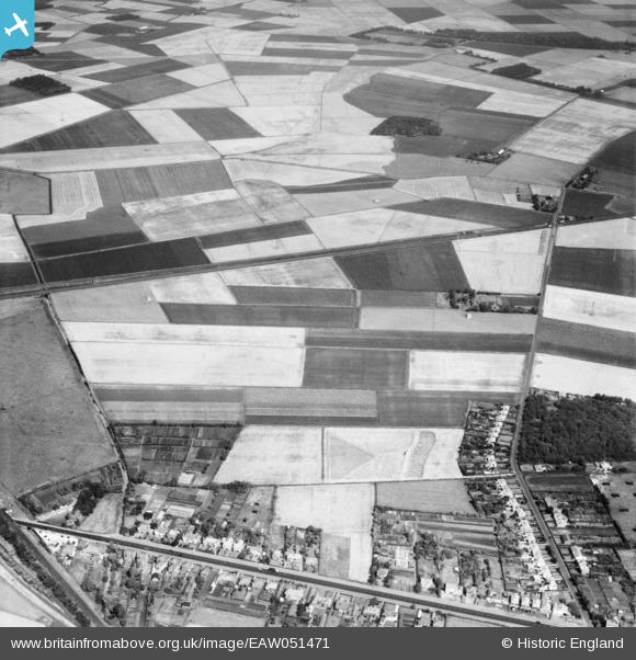
EAW051471 ENGLAND (1953). Scarisbrick (South) Road, Pool Hey Lane and surrounding fields, Pool Hey, 1953
© Copyright OpenStreetMap contributors and licensed by the OpenStreetMap Foundation. 2026. Cartography is licensed as CC BY-SA.
Nearby Images (6)
EAW051471
 Road, Pool Hey Lane and surrounding fields, Pool Hey, 1953")
EAW051472

EAW051479

EAW051480
 Road and fields around Pool Hey Lane and Pool Hey House, Pool Hey, 1953")
EAW051473

EAW051468
 Road and fields around Pool Hey Lane and Pool Hey House, Pool Hey, 1953")
Details
| Title | [EAW051471] Scarisbrick (South) Road, Pool Hey Lane and surrounding fields, Pool Hey, 1953 |
| Reference | EAW051471 |
| Date | 12-August-1953 |
| Link | |
| Place name | POOL HEY |
| Parish | SCARISBRICK |
| District | |
| Country | ENGLAND |
| Easting / Northing | 336684, 415582 |
| Longitude / Latitude | -2.9576222636007, 53.632694038986 |
| National Grid Reference | SD367156 |
Pins

Karlos |
Friday 27th of May 2022 03:36:17 PM | |
|
Old Liverpool lad |
Tuesday 10th of August 2021 08:05:20 PM | |
|
Old Liverpool lad |
Tuesday 10th of August 2021 08:03:55 PM | |
|
Old Liverpool lad |
Tuesday 10th of August 2021 07:44:54 PM | |
|
Old Liverpool lad |
Tuesday 10th of August 2021 07:40:05 PM | |
|
Old Liverpool lad |
Tuesday 10th of August 2021 07:39:32 PM |